Friday, February 22, 2019

2020 Guided Cruise - Mingulay and More

Since 2016 it has been my privilege to create a yearly itinerary for 10-day cruise on the ship Hjalmar Bjorge, operated by Northern Light Cruising Company. It has been a rewarding experience, having the opportunity every year to share some of my favorite islands with guests eager to set foot on some of the more remote isles of the Hebrides. As always, weather, and sea-state, will determine exactly where we can go, but our goals for 2020 are as follows:

Departing on April 25, we’ll head west to Tobermory or Loch Sunart for the first night. Then it’s off to the Barra Isles to pay a visit to the islands south of Barra, with Mingulay as a priority – the puffins should be out in force on Mingulay. Then we’ll head north to the Monach Isles. If conditions look promising, we’ll continue on north to the Flannans. Landing on the Flannans is contingent on the sea-state.

We’ll then head east through the Sound of Harris, with time ashore on some of its islands, with Shillay and Ensay as priorities. Then we’ll set a course to the Shiants, which should be awash with puffins at this time of year. After the Shiants, it’s south through the Minch, with possible stops at Fladda Chuain or Isay. We’ll then return to Oban on May 4, via a stop at one of the Small Isles.

The following describes the highlights of some of the islands we hope to visit. Guests can come along on a guided walk, or explore on their own. For more information, and to book, refer to the Northern Lights website.

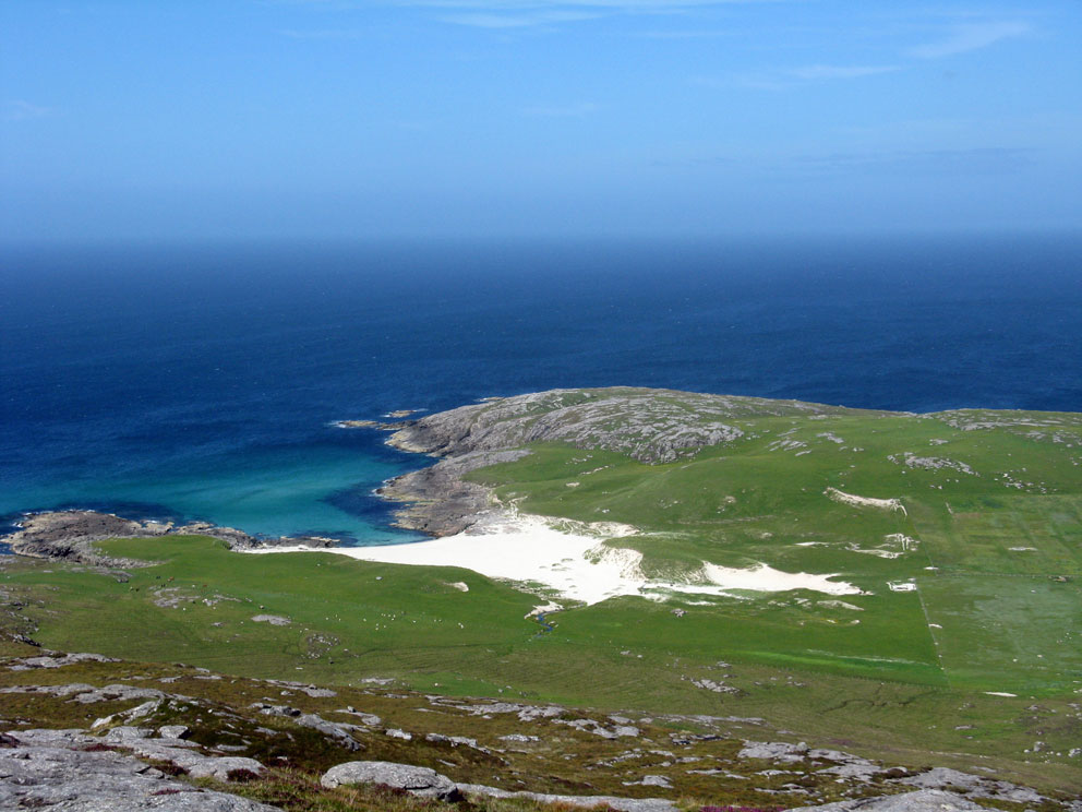
Mingulay: Sometimes called ‘The Nearer St Kilda’, with its puffins and historic ruins. Occupied as early as 3000 BC, the island was abandoned in 1912. The remains of its village are an evocative sight, as they are gradually being swallowed by the blowing sands.


The Monachs (the Monk’s Isles): Three low-lying islands connected by sandbars at low tide. There is a large seal population here, and it was the site of a monastery in the middle ages.


Flannans: The mystery of the missing lightkeepers remains unsolved to this day. Landing here can be difficult, and requires use of a rope, so conditions need to be just right. In addition to the famous lighthouse, the island is home to three historic beehive cell dwellings, and several thousand puffins.


Shiants: More puffins await us on the Shaints. A night at anchor here is something to remember forever: the sky filled with a hundred thousand of them flying between the sea and their island burrows.


Sunday, February 10, 2019

The Path to Reinigeadal - Revisited

I have posted in the past about the hill path to Reinigeadal which, prior to the road reaching the village in 1987, was the only way for walkers to get there from Tarbert. The walk is so spectacular, that I thought it worth revisiting, including some photos I've not used before.

In no particular order, here are some of the views that await all who walk this exhilarating path.

Looking west from near the top of the path


Looking east to the Shiants from the summit cairn

Top of the switchbacks heading east
Switchbacks down to the shore

Approaching the shore of Loch Trolamaraig

Looking west up the Abhainn Ceann an Locha

Where the path to Molinginis branches off
Stone marking the path to Molinginis


Looking back to the switchbacks from Reinigeadal

Trolamaraig beach at the bottom of the path

Tuesday, January 29, 2019

Beinn Tangabhal via the Hebridean Way

My wife and I ended our Hebridean trip last August with a stay on Barra. I had been reading about the new Hebridean Way, a long-distance path that begins on Vatersay, and ends 185 miles north at the Butt of Lewis. While I was on Barra I wanted to walk some of the path, and I also wanted to climb Beinn Tangabhal, as I had not been up there for 20 years.

As it turns out, just where the Hebridean Way crosses the Vatersay causeway, it continues north by ascending the western shoulder of Beinn Tangabhal, which at just over 1000 feet elevation, is the third highest peak on Barra. The high point of that section of the path comes within 1000 feet distance, and 250 feet elevation, of the summit of Tangabhal; and so I decided make a climb up the mountain via the Hebridean Way.

The 'official' start of the path is marked by an iron marker, just opposite the Vatersay Community Hall.


The route then follows the road around to the Vatersay Causeway; but if you have the energy, a better way is to climb north over Heiseabhal Mor, the highest point on Vatersay. The views far outweigh the exertion required to get there.


Vatersay Causeway seen from slopes of Heiseabhal Mor
After descending from the high ground of Vatersay, you cross the causeway, then carry on along the road 1500 feet to the east. Here the Hebridean Way finally leaves the road to head up into the hills.


As you start to climb, just above the road, you pass a very historic site: the Allt Chrysal Roundhouse.


Just offshore here I saw the boat Boy James. Under its previous skipper, Donald Beg, Boy James had taken me to the islands of Pabbay, Bernera, and Sandray - good times. Although Donald Beg no longer skippers the boat, it still does trips to the uninhabited islands south of Barra.

Boy James in the Sound of Vatersay
Just above the Allt Crysal roundhouse I came upon the first waymarker for the Hebridean Way.


As I climbed north, the view opened up to the east. Unfortunately it was a misty day, and as I climbed that view gradually disappeared. After ascending 800 feet the trig-pillar on the summit of Beinn Tangabhal appeared in the cold mist.


The summit was fascinating. Twenty years had passed since I was last here, and the mist that came and went with the wind made for quite an ethereal experience.


After enjoying the view (and a beer), I headed back to the Hebridean Way, which I followed down to the sands of Halaman Bay.


After reaching sea-level, the route went through through the sands of Halaman Bay to the Barra Ring Road. It was an amazing hike, one that I can highly recommend. I ended the hike with a two-mile road walk back to Castlebay, where I rewarded myself with a pint at the Craigard Hotel.

Halaman Bay and Tangasdal

Wednesday, January 16, 2019

A Taste of Rum

Here's a taste of Rum. My two favourite spots on the island are Kilmory, near the north end, and the summit of Hallival, near the top end. The hike up to Hallival, from sea-level, is a climb of 2,700 feet, just shy of a Munro. The last 300 feet is an exciting scramble up its steep, rocky mantle.


The view from the top of Hallival makes it all worthwhile.


My second favourite spot on Rum is Kilmory. On our first visit to Rum, in 1997, my wife and I made the five mile walk there, only to be turned away, just 500 feet from the beach. A squad of wildlife researchers were watching a deer give birth. They did not want any disturbance, so we had to turn around. We returned three years later.


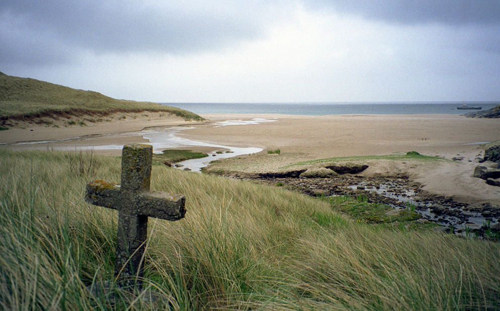
The old village, burial ground, and chapel site at Kilmory, set against the backdrop of the river and the Rum Cuillins, is absolutely stunning. At the left of the next photo you can see the tombstone of the five Matheson children, who died within three days of each other from diphtheria.


Lying inside the burial ground is a cross-inscribed pillar. Well over a thousand years old, it may have once stood by the old chapel.


A not-so-picturesque sight at Kilmory is the old laundry building. From the outside it's a rusting eyesore, but on the inside you'll find something amazing; a collection of items from Rum's most famous residents.


Tuesday, January 8, 2019

Isles to Be - Sanda

This is the final Isles to Be installment - for now, anyway. The island is Sanda, off the southern tip of the Kintyre Peninsula. The island's previous owners had a go at offering accommodation and a pub. The current owners no longer do that, and do not encourage visitors. When it was operating, the pub claimed to be the most remote in the UK.  I think the owners of the Old Forge in Inverie might disagree with that claim.


The pub was named 'The Byron Darnton', after a ship that went aground on the island.

The Pub - now closed
Even though the pub is closed, I still want to set foot on the island. Two sites appeal: St Ninian's Chapel, and the Stevenson lighthouse. The chapel dates to at least the 14th century, and was once a sanctuary. 

St Ninian's Chapel and burial ground
A kilometre away, on the south side of the island, is the 1850 Stevenson lighthouse. It has a unique feature, its two stair-towers. These give access to the lighthouse, which sits atop a rock, 30 metres above the sea.


A reef near the ligthhouse is called Prince Edward's Rock, after Edward Bruce, the brother of Robert Bruce. Edward became King of Ireland, and died fighting at Dun Dealgan, 100 miles away. The island was associated with another Bruce in the late 1960s, when Jack Bruce, bassist for Cream, owned the island.

Sanda is difficult to get to. It lies in an exposed spot in the sea, and is a long run for cruises based on the west coast. I will probably have to arrange a private charter to get there. To celebrate landing on this elusive isle, I'll have to bring my own refreshments. Unless, that is, I can talk them into opening the pub.